Yeed geodata
Yeed (Bakool) is a populated place; located in Somalia in Africa/Mogadishu (GMT+3) time zone. With population of 8,429 people, there are 35 cities with bigger population in this country. Compared to other cities in Somalia, 50.9% of cities are located further ↑North; 81.1% of cities are located further →East and 75.5% of cities have lower elevation than Yeed. Note1


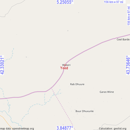
Yeed GPS coordinates[2]
4° 33' 0" North, 43° 1' 59.988" East
| Map corner | latitude | longitude |
|---|---|---|
| Upper-left | 5.25055°, | 42.33021° |
| Center: | 4.55°, | 43.03333° |
| Lower-right: | 3.84877°, | 43.73646° |
| Map W x H: | 155.9×155.9 km | = 96.9×96.9mi |
| max Lat: | 11.96611° ⇑50.9% North |
| Yeed: | 4.55° |
| min Lat: | ⇓49.1% South -1.21917° |
| min Long | Yeed | max Long |
| 41.83725° | 43.03333° | 51.0773° |
| W 18.9%⇐ | ⇒81.1% E |
Elevation
Elevation of Yeed is 355 m = 1165 ft, and this is 65.1 m = 214 ft above average elevation for this country.
| Max E: |
1786 m = 5860 ft | 24.5% |
| Yeed | 355 m 1165 ft | |
| Avg. | 289.9 m = 951 ft | |
Min E: |
-2 m = -7 ft | 75.5% |
See also: Somalia elevation on elevation.city.
Geographical zone
Yeed is located in North Torrid zone (between Equator and Tropic of Cancer). Distance of Equator is 505.9 km =314.4 mi to South.| Distance of | km | miles | from Yeed |
|---|---|---|---|
| North Pole | 9501.1 | 5903.7 | to North |
| Arctic Circle | 6895.3 | 4284.5 | to North |
| Tropic Cancer | 2100 | 1304.9 | to North |
| Equator | 505.9 | 314.4 | to South |


Nearby cities:
15 places around Yeed: (largest is in red/bold)
• Baardheere
259.2 km =161.1 mi,  198°
198°
• Baidoa
173.7 km =107.9 mi,  156°
156°
• Beledweyne
241.4 km =150 mi,  85°
85°
• Buulobarde
291.5 km =181.1 mi,  105°
105°
• Buurhakaba
226.2 km =140.6 mi,  149°
149°
• Garbahaarrey
163 km =101.3 mi,  213°
213°
• Jalalaqsi
313.1 km =194.6 mi, 114°
• Jawhar
337.1 km =209.5 mi,  125°
125°
• Luuq
99.2 km =61.6 mi, 213°
• Mahaddayweyne
328.3 km =204 mi,  122°
122°
• Saacow
331.5 km =206 mi,  191°
191°
• Tayeeglow
174.2 km =108.2 mi, 109°
• Waajid
85.6 km =53.2 mi, 163°
• Wanlaweyn
297.9 km =185.1 mi,  136°
136°
• Xuddur
106.2 km =66 mi, 116°
Sources, notices
• [Note1] Compared only with cities in Somalia existing in our database
• [Src1] Map data: © OpenStreetMap contributors (CC-BY-SA)
• [Src2] Other city data from geonames.org with taken over terms of usage.
• [Src3] Geographical zone / Annual Mean Temperature by Robert A. Rohde @ Wikipedia
