Maamba geodata
Maamba (Southern) is a populated place; located in Zambia in Africa/Lusaka (GMT+2) time zone. With population of 12,251 people, there are 35 cities with bigger population in this country. Compared to other cities in Zambia, 97% of cities are located further ↑North; 71.2% of cities are located further →East and 93.9% of cities have higher elevation than Maamba. Note1


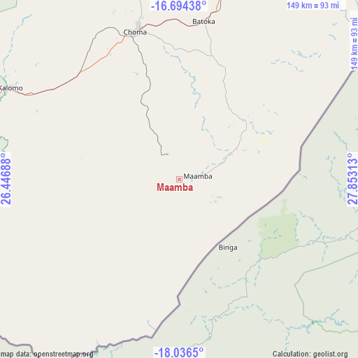
Maamba GPS coordinates[2]
17° 22' 0.012" South, 27° 9' 0" East
| Map corner | latitude | longitude |
|---|---|---|
| Upper-left | -16.69438°, | 26.44688° |
| Center: | -17.36667°, | 27.15° |
| Lower-right: | -18.0365°, | 27.85313° |
| Map W x H: | 149.2×149.2 km | = 92.7×92.7mi |
| max Lat: | -8.46887° ⇑97% North |
| Maamba: | -17.36667° |
| min Lat: | ⇓3% South -17.84194° |
| min Long | Maamba | max Long |
| 22.67926° | 27.15° | 33.1782° |
| W 28.8%⇐ | ⇒71.2% E |
Elevation
Elevation of Maamba is 754 m = 2474 ft, and this is 389.4 m = 1278 ft below average elevation for this country.
| Max E: |
1622 m = 5322 ft | 93.9% |
| Avg. | 1143.4 m = 3751 ft | |
| Maamba | 754 m = 2474 ft | |
Min E: |
328 m = 1076 ft | 6.1% |
See also: Zambia elevation on elevation.city.
Geographical zone
Maamba is located in South Torrid zone (between Equator and Tropic of Capricorn). Distance of this Southern Tropic circle is 674.9 km =419.4 mi to South.| Distance of | km | miles | from Maamba |
|---|---|---|---|
| Equator | 1931 | 1199.9 | to North |
| Tropic Capricorn | 674.9 | 419.4 | to South |
| Antarctic Circle | 5470.2 | 3399 | to South |
| South Pole | 8076.1 | 5018.3 | to South |


Nearby cities:
15 places around Maamba: (largest is in red/bold)
• Chibombo
317 km =197 mi,  18°
18°
• Choma
64.4 km =40 mi,  344°
344°
• Chongwe
279.4 km =173.6 mi,  35°
35°
• Gwembe
108.2 km =67.2 mi,  26°
26°
• Kafue
208.9 km =129.8 mi, 31°
• Livingstone
147.1 km =91.4 mi,  248°
248°
• Lusaka
249.4 km =155 mi, 29°
• Mazabuka
179.6 km =111.6 mi, 20°
• Monze
125.6 km =78 mi, 16°
• Mumbwa
265.2 km =164.8 mi,  357°
357°
• Nakambala
183.3 km =113.9 mi, 21°
• Namwala
195.1 km =121.2 mi, 337°
• Sesheke
302.9 km =188.2 mi,  267°
267°
• Siavonga
189.7 km =117.9 mi,  60°
60°
• Sinazongwe
35.1 km =21.8 mi,  70°
70°
Sources, notices
• [Note1] Compared only with cities in Zambia existing in our database
• [Src1] Map data: © OpenStreetMap contributors (CC-BY-SA)
• [Src2] Other city data from geonames.org with taken over terms of usage.
• [Src3] Geographical zone / Annual Mean Temperature by Robert A. Rohde @ Wikipedia
