Kasempa geodata
Kasempa (North-Western) is a populated place; located in Zambia in Africa/Lusaka (GMT+2) time zone. With population of 5,622 people, there are 54 cities with bigger population in this country. Compared to other cities in Zambia, 53% of cities are located further ↓South; 81.8% of cities are located further →East and 60.6% of cities have lower elevation than Kasempa. Note1


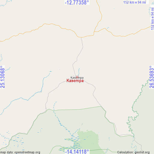
Kasempa GPS coordinates[2]
13° 27' 30.096" South, 25° 50' 1.68" East
| Map corner | latitude | longitude |
|---|---|---|
| Upper-left | -12.77358°, | 25.13068° |
| Center: | -13.45836°, | 25.8338° |
| Lower-right: | -14.14118°, | 26.53693° |
| Map W x H: | 152.1×152.1 km | = 94.5×94.5mi |
| max Lat: | -8.46887° ⇑47% North |
| Kasempa: | -13.45836° |
| min Lat: | ⇓53% South -17.84194° |
| min Long | Kasempa | max Long |
| 22.67926° | 25.8338° | 33.1782° |
| W 18.2%⇐ | ⇒81.8% E |
Elevation
Elevation of Kasempa is 1235 m = 4052 ft, and this is 91.6 m = 301 ft above average elevation for this country.
| Max E: |
1622 m = 5322 ft | 39.4% |
| Kasempa | 1235 m 4052 ft | |
| Avg. | 1143.4 m = 3751 ft | |
Min E: |
328 m = 1076 ft | 60.6% |
See also: Zambia elevation on elevation.city.
Geographical zone
Kasempa is located in South Torrid zone (between Equator and Tropic of Capricorn). Distance of this Southern Tropic circle is 1109.5 km =689.4 mi to South.| Distance of | km | miles | from Kasempa |
|---|---|---|---|
| Equator | 1496.4 | 929.8 | to North |
| Tropic Capricorn | 1109.5 | 689.4 | to South |
| Antarctic Circle | 5904.7 | 3669 | to South |
| South Pole | 8510.6 | 5288.2 | to South |


Nearby cities:
15 places around Kasempa: (largest is in red/bold)
• Chambishi
257.4 km =159.9 mi,  69°
69°
• Chililabombwe
247.5 km =153.8 mi,  60°
60°
• Chingola
245 km =152.2 mi, 65°
• Kabompo
177.2 km =110.1 mi,  265°
265°
• Kalengwa
89.9 km =55.9 mi, 269°
• Kalulushi
254.2 km =158 mi, 74°
• Kansanshi
164.7 km =102.3 mi,  23°
23°
• Kaoma
184.7 km =114.8 mi,  217°
217°
• Kitwe
267.8 km =166.4 mi, 74°
• Mpongwe
251 km =156 mi,  91°
91°
• Mufumbwe
114.5 km =71.1 mi,  257°
257°
• Mumbwa
215.1 km =133.7 mi,  142°
142°
• Mwinilunga
244.8 km =152.1 mi,  321°
321°
• Namwala
263 km =163.4 mi,  165°
165°
• Solwezi
155.5 km =96.6 mi, 22°
Sources, notices
• [Note1] Compared only with cities in Zambia existing in our database
• [Src1] Map data: © OpenStreetMap contributors (CC-BY-SA)
• [Src2] Other city data from geonames.org with taken over terms of usage.
• [Src3] Geographical zone / Annual Mean Temperature by Robert A. Rohde @ Wikipedia
