Chipata geodata
Chipata (Eastern) is a seat of a first-order administrative division; located in Zambia in Africa/Lusaka (GMT+2) time zone. With population of 85,963 people, there are 9 cities with bigger population in this country. Compared to other cities in Zambia, 56.1% of cities are located further ↑North; 95.5% of cities are located further ←West and 54.5% of cities have higher elevation than Chipata. Note1


Chipata GPS coordinates[2]
13° 37' 59.988" South, 32° 39' 0" East
| Map corner | latitude | longitude |
|---|---|---|
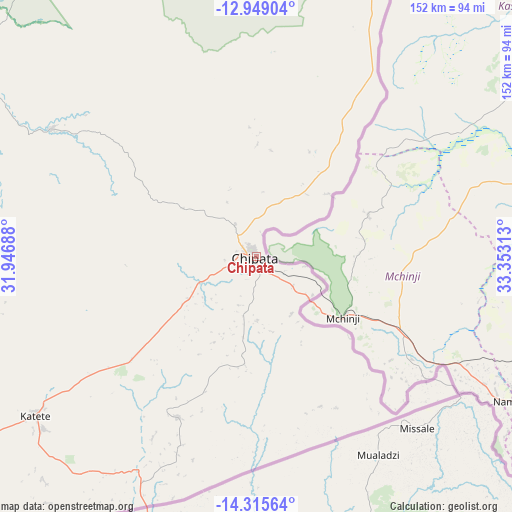
| Upper-left | -12.94904°, | 31.94688° |
| Center: | -13.63333°, | 32.65° |
| Lower-right: | -14.31564°, | 33.35313° |
| Map W x H: | 152×152 km | = 94.4×94.4mi |
| max Lat: | -8.46887° ⇑56.1% North |
| Chipata: | -13.63333° |
| min Lat: | ⇓43.9% South -17.84194° |
| min Long | Chipata | max Long |
| 22.67926° | 32.65° | 33.1782° |
| W 95.5%⇐ | ⇒4.5% E |
Elevation
Elevation of Chipata is 1147 m = 3763 ft, and this is 3.5999999999999 m = 12 ft above average elevation for this country.
| Max E: |
1622 m = 5322 ft | 54.5% |
| Chipata | 1147 m 3763 ft | |
| Avg. | 1143.4 m = 3751 ft | |
Min E: |
328 m = 1076 ft | 45.5% |
See also: Chipata elevation on elevation.city.
Geographical zone
Chipata is located in South Torrid zone (between Equator and Tropic of Capricorn). Distance of this Southern Tropic circle is 1090 km =677.3 mi to South.| Distance of | km | miles | from Chipata |
|---|---|---|---|
| Equator | 1515.9 | 941.9 | to North |
| Tropic Capricorn | 1090 | 677.3 | to South |
| Antarctic Circle | 5885.3 | 3657 | to South |
| South Pole | 8491.2 | 5276.2 | to South |


Nearby cities:
15 places around Chipata: (largest is in red/bold)
• Chadiza
53.4 km =33.2 mi,  205°
205°
• Chama
274.6 km =170.6 mi,  11°
11°
• Chinsali
349.3 km =217 mi,  349°
349°
• Isoka
386.1 km =239.9 mi,  359°
359°
• Kasama
412.5 km =256.3 mi,  337°
337°
• Kataba
366.7 km =227.9 mi,  302°
302°
• Luangwa
326.1 km =202.6 mi,  227°
227°
• Lundazi
159.7 km =99.2 mi,  21°
21°
• Mkushi
351.9 km =218.7 mi,  270°
270°
• Mpika
238.5 km =148.2 mi,  327°
327°
• Mungwi
409.2 km =254.3 mi, 340°
• Nyimba
222.9 km =138.5 mi,  242°
242°
• Petauke
158.7 km =98.6 mi, 244°
• Samfya
420 km =261 mi,  306°
306°
• Serenje
264.9 km =164.6 mi,  279°
279°
Sources, notices
• [Note1] Compared only with cities in Zambia existing in our database
• [Src1] Map data: © OpenStreetMap contributors (CC-BY-SA)
• [Src2] Other city data from geonames.org with taken over terms of usage.
• [Src3] Geographical zone / Annual Mean Temperature by Robert A. Rohde @ Wikipedia
